
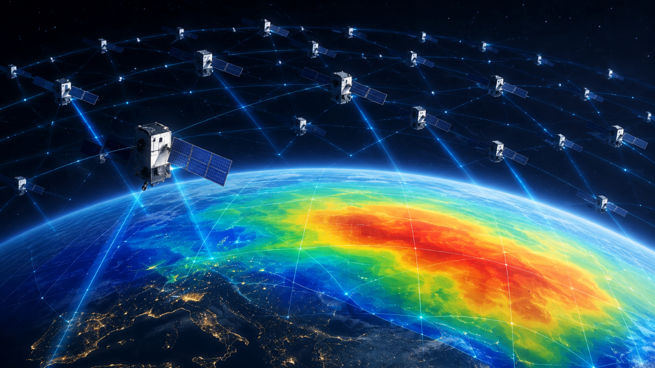
Starlink satellites are now helping scientists map Earth’s upper atmosphere. Researchers used orbital data from Starlink to estimate thermosphere density. This method creates a two-dimensional map of atmospheric density variations. The findings offer a new way to study this difficult-to-observe region. Commercial satellite data is becoming an unexpected scientific resource.
Top Stories
1,200 Starlink satellites help map Earth’s hard-to-observe upper atmosphere
Related Post