The News Vista is dedicated to delivering accurate, timely, and unbiased news to keep our readers informed. We cover a wide range of topics including current affairs, politics, business, technology, and more.
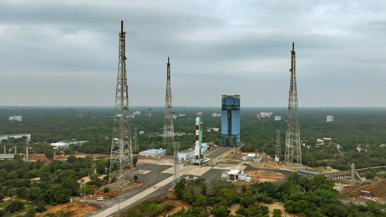
ISRO’s Space Applications Centre and ATREE have partnered to map India’s grasslands and open natural ecosystems using satellite data and ecological research. This collaboration aims to assess restoration impacts, improve carbon estimation, and generate policy-ready datasets for land use planning and conservation efforts.